
Cold Air and Snow Set to Arrive in Western New York Early Next Week |
Residents should prepare for the season's first significant snowfall and chilly temperatures |
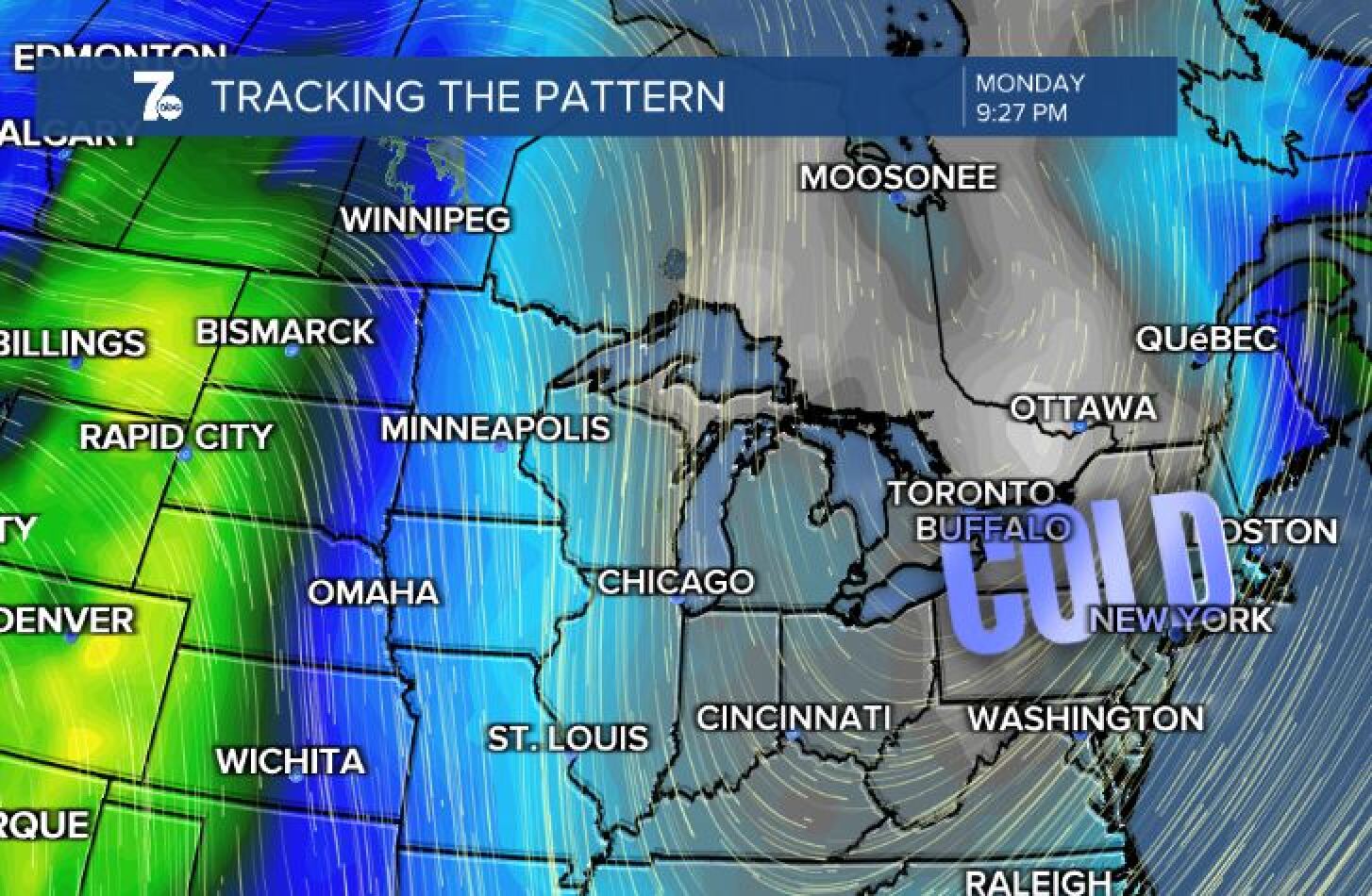 |
Western New York is bracing for a significant shift in weather patterns as cold air and snow are forecasted to arrive early next week.
According to recent forecasts, temperatures on Monday are expected to reach highs in the low to mid-30s, with wind chills making it feel even colder.
Rain showers are anticipated to begin on Sunday, transitioning to a mix of rain and snow by Sunday evening as colder air moves into the region.
By Monday, snow showers are likely across all of Western New York, potentially impacting the morning commute.
While the ground remains relatively warm, causing much of the snow in Buffalo to melt upon contact, higher elevations in the Southern Tier could see more substantial accumulations.
Lake Erie, currently at 54 degrees Fahrenheit, combined with air temperatures at 5,000 feet ranging between 10 to 15 degrees Fahrenheit, creates conditions conducive to lake-effect snow.
Northwesterly winds are expected to enhance lake-effect snow showers south of Buffalo on Monday and Tuesday.
By Tuesday morning, Buffalo could see an inch or two of snow, with higher elevations south of the city, particularly along the Chautauqua Ridge, potentially receiving several inches.
Residents are advised to stay updated with the latest forecasts and prepare for winter driving conditions.
As always, exercise caution during the first significant snowfall of the season. |